Temporarily closed

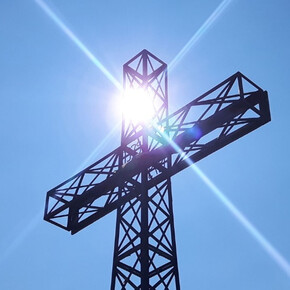
Cima Durmont

Mountain tour • Madonna di Campiglio, Pinzolo and Val Rendena

Mountain tour

Cima Durmont

Mountain tour · Madonna di Campiglio, Pinzolo, Val Rendena closed
Logo TRACCIAtour srl
Responsible for this content
TRACCIAtour srl
  • Cima Durmont
    Cima Durmont
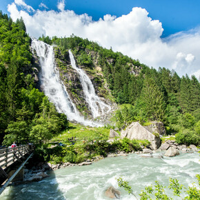
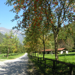
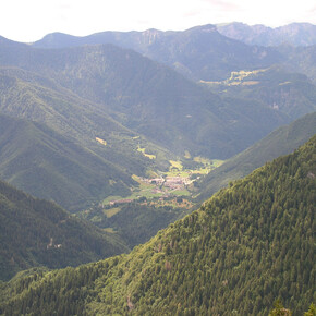
    Photo: VisitTrentino, TRACCIAtour srl
Hint

Explanation

Selected alternatives for you
    closed
    easy
    Distance 6.1 km
    3:00 h
    535 m
    499 m
    1,835 m
    1,300 m
    Profile picture of VisitTrentino
    Author
    VisitTrentino
    Update: September 09, 2019
    Difficulty
    easy
    Overall difficulty
    easy

    Derived from the technical difficulty and the stamina requirements.

    Experience
    Landscape
    Highest point
    1,835 m
    Lowest point
    1,300 m
    Best time of year
    Jan
    Feb
    Mar
    Apr
    May
    Jun
    Jul
    Aug
    Sep
    Oct
    Nov
    Dec

    Track types

    Forested/wild trail 25.49%Path 72.47%Road 2.03%
    Forested/wild trail
    1.6 km
    Path
    4.4 km
    Road
    0.1 km
    Show elevation profile

    Safety information

    1) Prepare your itinerary

    2) Choose a route that is suitable for your skill level

    3) Choose suitable equipment and gear

    4) Consult the snow/weather bulletins

    5) Heading out on your own is more risky

    6) Leave information on your itinerary and on the approximate time you expect to return

    7) Do not hesitate to seek the support of a professional

    8) Pay attention to the information and signs that you find along the trail

    9) Do not hesitate to follow your steps backwards

    10) In case of an accident, sound the alarm by calling the emergency number 112.


    Please note that the practicability of the itineraries in a mountain environment is strictly linked to the contingent conditions and is therefore influenced by natural phenomena, environmental changes and weather conditions. For this reason, the information contained in this page may have changed. Before leaving for a tour, make sure the path you will approach is still accessible by contacting the owner of the mountain hut, the alpine guides or the visitor centres of the nature parks, the info offices of the local tourist board.


    Rest stop
    Tip
    Nearby
    Top Partner
    Waypoint
    Start point
    End point
    Low point
    High point
    Forecast
    Photo
    Video

    Public transport

    Get Timetable to destination

    to
    Cima Durmont

    Coordinates

    DD
    46.078019, 10.745311
    DMS
    46°04'40.9"N 10°44'43.1"E
    UTM
    32T 634952 5104196
    w3w 
    ///bettered.devoid.bareness
    Get there by train, car, bike, or on foot!

    Similar routes nearby

    • Durmont peak tour
    • Monte Iron
    • Val di San Valentino tour
    • Credata Fort
    • Monte Cengledino
     These suggestions were generated by our system
    Status
    closed
    Difficulty
    easy
    Overall difficulty
    easy

    Derived from the technical difficulty and the stamina requirements.
    Distance
    6.1 km
    Duration
    3:00 h
    Ascent
    535 m
    Descent
    499 m
    Highest point
    1,835 m
    Lowest point
    1,300 m
    Out and back

    Weather at the route's trailhead

    Statistics

    • Content
    • Show images Hide images
    Features
    2D 3D
    Maps and trails
    Nothing selected - click and drag in the elevation profile to zoom
    Distance
    Duration
    Ascent
    Descent
    Elevation profile


    You may also like ...

    627 results
    Senter de Vies (SAT 423)

    Senter de Vies (SAT 423)

    Arca di Fraporte

    Arca di Fraporte

    Malga Civertaghe - Rifugio Velo della Madonna

    Malga Civertaghe - Rifugio Velo della Madonna

    Rifugio Maranza - Cima La Marzola

    Rifugio Maranza - Cima La Marzola

    Dolomiti Palaronda Trek - 2nd stage

    Dolomiti Palaronda Trek - 2nd stage

    Dosso di Costalta from Redebus Pass

    Dosso di Costalta from Redebus Pass

    Val Genova warterfalls tour

    Val Genova warterfalls tour

    Senter de Malga Cor (SAT 457 bis)

    Senter de Malga Cor (SAT 457 bis)

    Senter de Vies (SAT 423)

    Demanding route that leads up to the top of the highest mountains in...

    Read more ...

    Arca di Fraporte

    It’s hard to explain the emotions one feels while walking through...

    Read more ...

    Malga Civertaghe - Rifugio Velo della Madonna

    A route suitable for physically fit hikers, to reach one of the most...

    Read more ...

    Rifugio Maranza - Cima La Marzola

    Punto panoramico d'eccezione fra la Valle dell’Adige e la Valsugana.

    Read more ...

    Dolomiti Palaronda Trek - 2nd stage

    Second stage of the tour on the Pale di San Martino, from Rifugio...

    Read more ...

    Dosso di Costalta from Redebus Pass

    Hike from Redebus Pass to the peak of Dosso di Costalta, with a...

    Read more ...

    Val Genova warterfalls tour

    Exciting tour to find out the several Val Genova waterfalls, up to...

    Read more ...

    Senter de Malga Cor (SAT 457 bis)

    Walk from Malga Cita, in the woods of Pur, to Malga Cor, on the...

    Read more ...

    Mountain tour