MAZZIN - VAL UDAI - CAMPITELLO DI FASSA
Mountain tour • Val di Fassa
MAZZIN - VAL UDAI - CAMPITELLO DI FASSA
Excursions in the side valleys
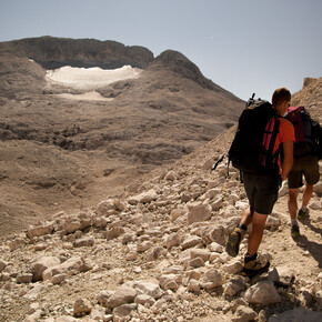
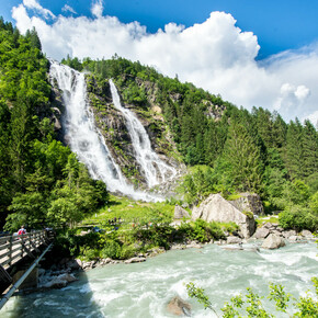
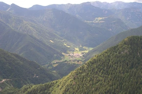
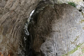
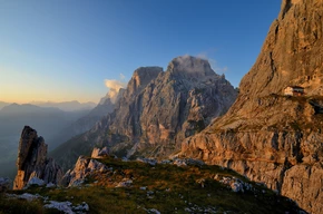
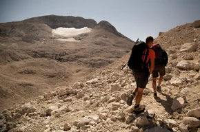
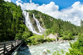
From the centre of Mazzin (1,372 m) go up along Strèda dò Ruf and then continue along the forest road called Val Udai (path no. 580). The road climbs fairly steeply along the stream of the same name. There is a bridge which takes you over to the other bank, and then the road becomes very steep indeed, just before meeting up with path no. 579 which comes from Ronch. Shortly after this you come to a flat section where you will have to cross the brilliantly white scree which runs across the pathway. Next you cross the stream and then you go back into the woods to follow the rough track. The Zocol face is visible together with the spectacular waterfalls known as “l Pis” (or Soscorza) and the Spina da Lèch, and eventually you pass right under the rock face. Now the path eases off, and a series of bends help to gain altitude comfortably. You cross the stream once more and then get to the Pian de Udai, a basin which boasts a good number of flowers. Once again the climb becomes taxing and the path crosses the stream several times. The rocks to the left are volcanic in origin and the gullies on the right come down from the Dò Ciuril mountain. The final climb brings you out on the upper Val di Dona (2 hrs 30). There is a choice for the return: you can either follow walk no. 2/o (path no. 577) to Fontanazzo (Fontanac) (1 hour 45), or you can climb to the head of the Val di Dona cutting diagonally across the Camerloi meadows to reach the Pas de le Ciaréjoles (2,282 m), and then down to Campitello (Ciampedèl) by way of the Val Duron (paths no. 578 and no. 532) (2 hrs 30).

