Gruppo del Pasubio
History and nature on the slopes of Mount Pasubio.
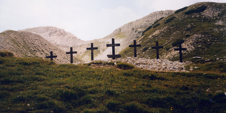
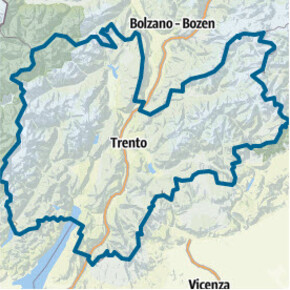
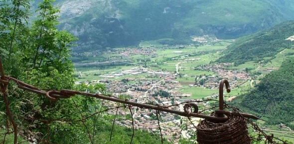
Mount Pasubio is a limestone massif located on the border between the provinces of Trento and Vicenza. Part of Vicenza Prealps, it connects the Small Dolomites to the Folgaria plateau. The slopes of the mount are very steep and strictly dolomitic in character featuring pinnacles, ravines and gorges, especially on the southern slopes. The upper part consists of a small, undulating plateau about 2,000 a.s.l, alternating ridges and large grass-covered basins, which are often used as pastures. The side-valleys are quite characteristic. Steep and rugged, they offer endless possibilities for accessing the higher part of the mountain.
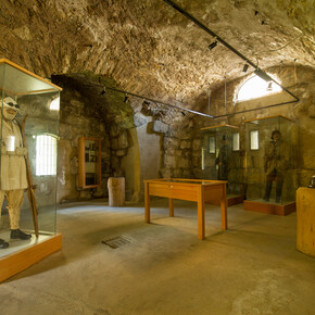
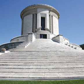
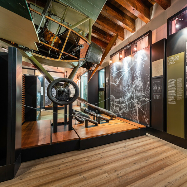
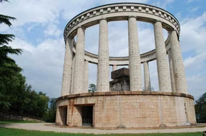
The main ridge develops over the north-south direction from Cogolo Alto at the highest altitude of Mount Pasubio, Palon peak (2,239 m), and extends beyond Dente Italiano and Dente Austriaco. This is the sacred area of Mount Pasubio; it was declared to be a sacred area in 1922 because of the cruel battles, which took place there during World War I. The front line actually crossed the place and the entire surface is riddled with bomb craters. You can still see trenches and passageways, as well as find tunnels and shelters. The most historically meaningful part of Pasubio is bordered by 30 boundary stones commemorating the main detachments, which fought courageously in ferocious battles, and include Dente Italiano, Palon Peak and the peak immediately to the south of it.
Contact & Directions
ApT Rovereto e VallagarinaPiazza Rosmini, 16
38068 Rovereto , Italy
Visit Website
You may also like ...


